The Geolocation Node is used to determine the latitude and longitude of countries, states, cities, and ISO 2 & ISO 3 country codes. It can be used with Google Maps or with Y42' insights visualization, to display the data in the graphical representation of their distribution. Here’s a guide on how to add and set up a Geolocation Node.
Note: In order to use the Model feature you already should have already imported data sources into Y42.
Adding the Geolocation Node to Your Model
- Select Model on the right of your window and click Add Model. Name your new Model and choose a privacy level.
- Create at least one input table by dragging & dropping the Input field into your data model structure. Choose a data table by clicking on it, then click Apply.
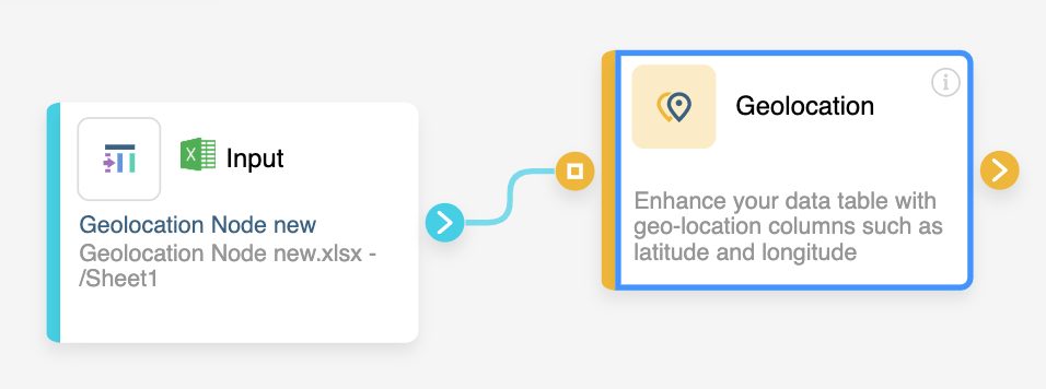
- Drag & drop a Geolocation Node close to the Input field.
Setting up your Geolocation Node
- Click on the Geolocation Node to apply the settings.
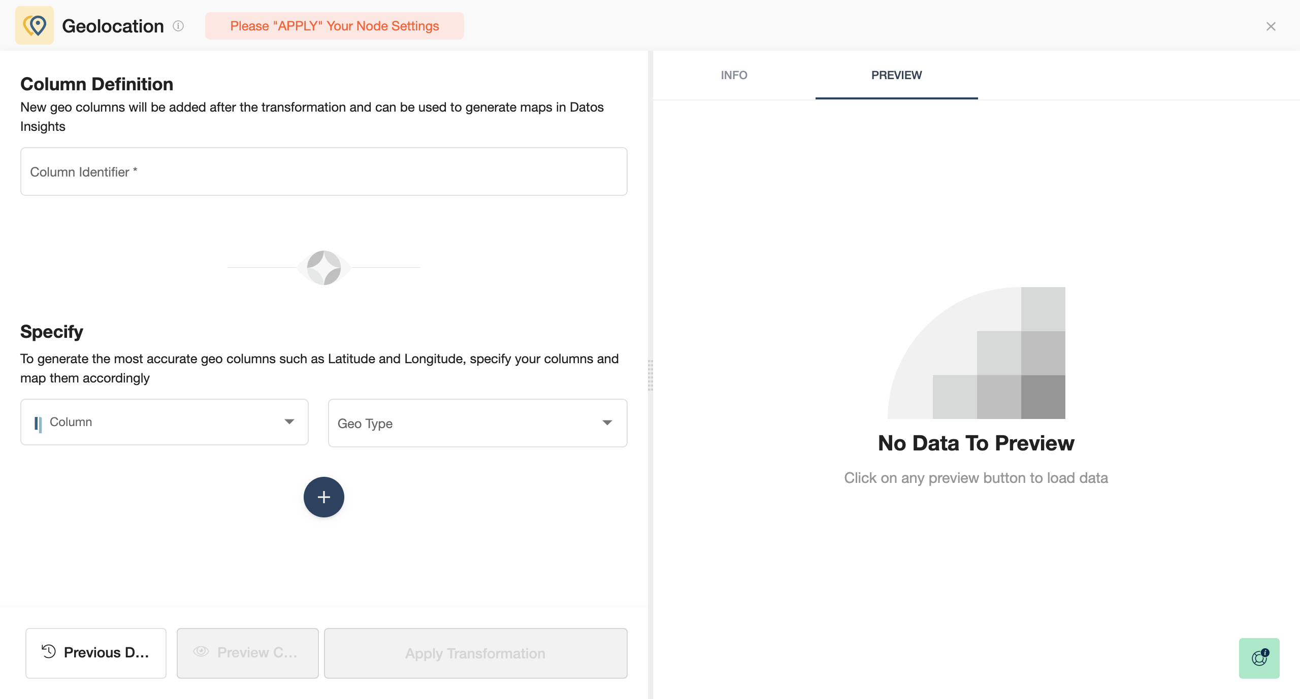
- Create the Column Identifier.
- Specify your columns and Geo Type.
- Add additional conditions by clicking on Add condition for higher precision, the big + button below.
- When you are done, press Save.
Once you're done determining the latitude and longitude of countries, cities, and ISO 2 & ISO 3 country codes, you can either perform further transformations or, if you want to export the new data table, click Commit Model.